


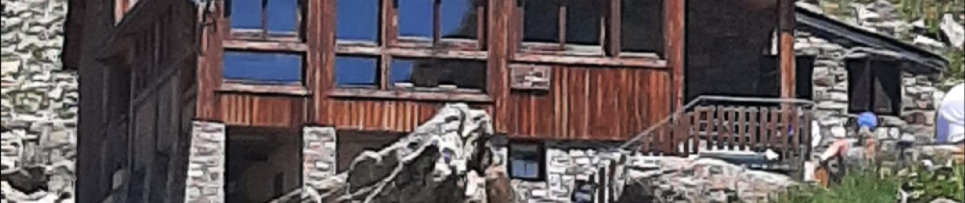
PARC NATIONAL DES ECRINS: REFUGE DU PIGEONNIER

djeepee74
User

Length
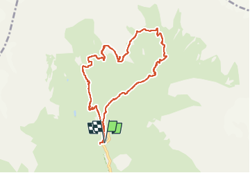
9.4 km

Max alt
2457 m

Uphill gradient
852 m
Km-Effort
21 km

Min alt
1610 m

Downhill gradient
852 m
Boucle
Yes
Creation date :
2022-07-16 08:30:15.027
Updated on :
2022-07-16 16:02:57.595
3h22
Difficulty : Medium

FREE GPS app for hiking
 SityTrail
IGN / Geographical institutes
SityTrail Plus
The world is yours!
About
Trail Walking of 9.4 km to be discovered at Provence-Alpes-Côte d'Azur, Hautes-Alpes, La Chapelle-en-Valgaudémar. This trail is proposed by djeepee74.
Description
BOUCLE... live de Cris & Karine le 20220716
... montée par la cabane / abri du Vaccivier (2130 m.)
MAGNIFIQUE !!!
Photos


Positioning
Country:
France
Region :
Provence-Alpes-Côte d'Azur
Department/Province :
Hautes-Alpes
Municipality :
La Chapelle-en-Valgaudémar
Location:
Unknown
Start:(Dec)
Start:(UTM)
285119 ; 4968748 (32T) N.
Comments